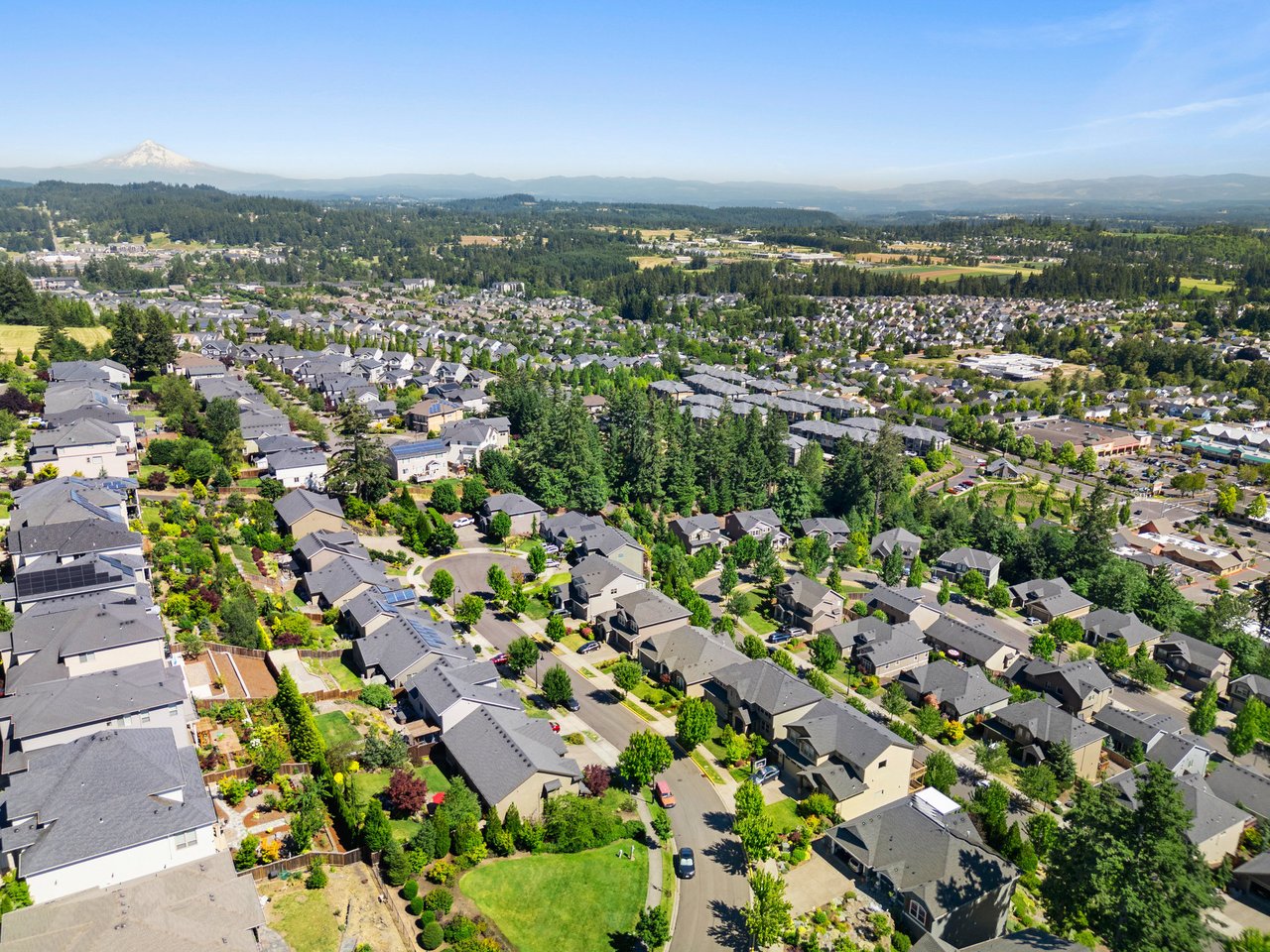
You work in Portland but want more space, quieter streets, and a yard. Beaverton sits just west of the city and gives you multiple commute options, from quick MAX rides to flexible highway routes. You also get a wide range of home styles at prices that can stretch your budget compared with many Portland neighborhoods. In this guide, you’ll compare commute tradeoffs, neighborhood vibes, and 2026 price snapshots so you can choose with confidence. Let’s dive in.
MAX Blue Line service links Beaverton to downtown Portland with frequent trains most of the day. A typical ride from Beaverton Transit Center to downtown can take about 20 to 30 minutes, depending on the schedule. You can review current headways and trip times on the MAX Blue Line schedule. If you plan to live within a short walk of a station, the time you save on last-mile travel often rivals driving during peak hours.
WES Commuter Rail runs on weekdays during peak hours between Beaverton, Tigard, Tualatin, and Wilsonville. It is useful if your job is on the westside suburban corridor rather than downtown. Check the current timetable on TriMet’s WES page. If you live farther north, Ride Connection’s community shuttles, including BethanyLink, connect neighborhoods to Sunset Transit Center and MAX. See current service details on Ride Connection’s Community Connectors.
Drivers use US 26 and OR 217 to reach Portland or connect to I-5. Travel times vary by origin and time of day, with typical non-peak drives around 20 minutes and peak trips often 30 to 45 minutes or more. You can learn more about OR 217’s role in regional connectivity on this route overview. For drive-and-ride, the Beaverton Transit Center is a major hub, and nearby stations like Beaverton Creek have larger lots. Beaverton Creek’s park-and-ride lists about 417 spaces; verify details on the Beaverton Creek Station page and current policies on TriMet transit centers.
This is Beaverton’s walkable core with restaurants, The Round, and the Patricia Reser Center for the Arts. You get the city’s best transit access near the Beaverton Transit Center, where MAX, buses, and WES converge. A MAX trip downtown often runs about 25 minutes from the transit center, so your door-to-desk time can be very competitive. According to January 2026 snapshots, typical sales in this subarea skew to condos and townhomes, with a representative median near $375K, which often makes it the budget-friendly, transit-first choice. For a taste of the area’s energy, see this overview of downtown Beaverton development.
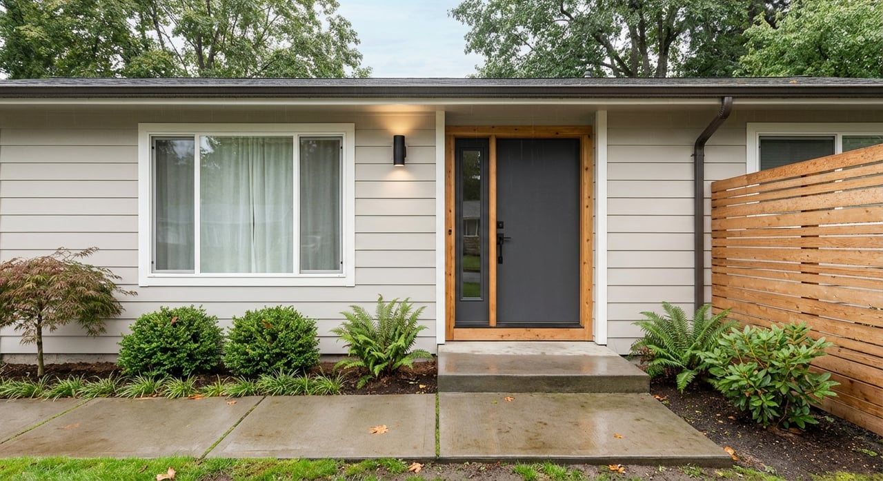
Close to downtown but more residential, Central Beaverton features older single-family homes, mid-century ranches, and some renovations. You can often bike or take a short bus ride to MAX. Many buyers like the balance of yard space with a short trip to the Beaverton Transit Center. January 2026 snapshots show a representative median around $390K, with home size and lot dimensions varying block by block.
Cedar Hills is a long-established suburban area with mid-century homes and retail convenience around Cedar Hills Crossing. Most homes are a quick drive to US 26, which is ideal if your commute depends on the highway. Transit is bus-first, typically connecting you to MAX hubs. Late-2025 snapshots show medians in roughly the mid-600Ks to about $685K, reflecting larger single-family stock and many remodels.
South Beaverton, including Murrayhill and Neighbors Southwest, offers 1990s to 2000s planned communities, parks, and shopping nodes like Progress Ridge and Murray Scholls. Commutes are car-forward, with quick access to OR 217 and feeder roads, plus park-and-ride options if you prefer MAX for the core of your trip. Representative medians in late-2025 to early-2026 often range from about $640K to $740K, with many 3 to 4-plus bedroom homes. For nearby outdoor time, explore the trails at Cooper Mountain Nature Park.
Bethany offers newer master-planned neighborhoods, larger homes, and a quiet suburban feel. It sits in unincorporated Washington County, so certain municipal services differ from the City of Beaverton. Commuters often use a shuttle or bus to Sunset Transit Center or drive to a park-and-ride, then take MAX. January 2026 snapshots show a representative median near $726K, reflecting newer, larger single-family homes and planned community amenities. Check shuttle options on Ride Connection’s Community Connectors.
These areas include rolling terrain, established single-family neighborhoods, and pockets with larger homes or added privacy. Most commuters drive to a nearby MAX station like Merlo Road, Elmonica, or Beaverton Creek, or hop on OR 217 or US 26. January 2026 snapshots show West Beaverton around a $569K median, while nearby pockets such as Raleigh West can run higher. Expect a wide spread by micro-neighborhood and lot size.
| Neighborhood | Commute orientation | Typical home types | Snapshot median (Jan 2026) |
|---|---|---|---|
| Downtown / Beaverton Central | Walk to MAX, buses at Beaverton Transit Center | Condos, townhomes, select small-lot homes | ~$375K |
| Central Beaverton | Short drive/bike or bus to MAX | Older single-family, mid-century ranch | ~$390K |
| Cedar Hills | Driver-friendly via US 26, bus to MAX | Mid-century single-family, remodels | mid-$600Ks to ~$685K (late-2025) |
| Murrayhill / South Beaverton | Car-forward, quick to OR 217, park-and-ride to MAX | 3–4+ bed single-family, 1990s–2000s | ~$640K–$740K (late-2025 to early-2026) |
| Bethany area | Shuttle or drive to Sunset TC + MAX | Newer, larger single-family | ~$726K |
| West Beaverton / Sexton Mountain | Short drive to MAX or OR 217/US 26 | Mixed single-family, varied lots | ~$569K |
Data current as of late-2025 to Jan 2026 snapshots. Always verify with current MLS data before making offers.
Your best Beaverton pick comes down to how you split the commute: walk-to-MAX simplicity, drive-and-ride flexibility, or a straight highway run. Use the price snapshots above as a starting point, then refine with live MLS data and station-by-station commute tests that match your actual work hours. When you are ready, we will help you line up neighborhood tours, compare commute options from each home, and negotiate the right match for your budget and goals. If you want a data-backed plan or a current valuation for a home you need to sell, reach out to Green Buck Real Estate for a clear next step.
Address 4200 Mercantile Dr #700 Lake Oswego, OR 97035
Address 4200 Mercantile Dr #700 Lake Oswego, OR 97035